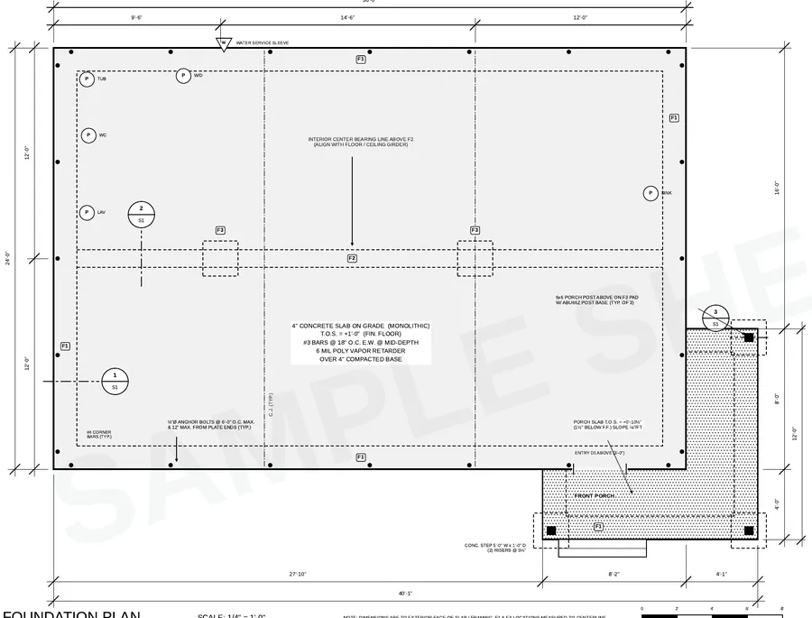
What a site plan is
A site plan (or plot plan) is a bird’s-eye drawing of your lot showing where the house and everything else will sit. Zoning uses it to check setbacks, height and lot coverage; the building department uses it to confirm location and drainage. The IRC requires construction documents to include a site plan showing the size and location of new construction and existing structures and their distances from lot lines (IRC R106.2).
Residential site plan checklist
- Property lines with bearings and dimensions, lot area
- North arrow, scale, address and parcel number
- House footprint with porches, decks and garage, dimensioned to every property line
- Required setbacks drawn as dashed lines
- Existing structures to remain or be removed
- Easements, rights-of-way and any flood zone line
- Driveway, walks and parking, with impervious area if required
- Utilities — water, sewer or septic and well, electric, gas
- Drainage arrows and finished floor elevation; spot grades on sloped lots
- Trees, slopes or wetlands where the jurisdiction protects them
Where the information comes from
Most of a site plan is copied from your boundary survey or recorded plat, then the house footprint from your plans is placed on it. Setbacks come from your zoning district or subdivision covenants. If you don’t have a survey, start by checking the county GIS or recorder’s office — but many jurisdictions require a survey by a licensed surveyor for new homes.
Read our guide to setback requirements before you place the house.
We can narrow, flip or rearrange the plan so it fits your lot — and redraw the site plan to match.
Modify for a narrow lotSite plan vs survey
| Survey | Site plan | |
|---|---|---|
| Who prepares it | Licensed land surveyor | Designer, drafter or owner (varies) |
| Shows | Existing boundaries and conditions | Proposed house and improvements |
| Typical cost | $400–$1,500+ | $149 with our service, from your survey |
A site plan doesn’t replace a survey where one is required, and we don’t establish boundaries — we draw from the survey or plat you provide.
How to get a site plan drawn
Send us your survey or plat, your house plans and your zoning setbacks. We draw a permit-ready site plan with the house placed, dimensioned and checked against the setbacks. It’s $149 when added to a foundation plan order, or ask for it on its own through the same form.
Frequently asked questions
Is a site plan required for a building permit?
For new houses, additions and most accessory buildings, yes. It shows the location, setbacks and lot lines the zoning reviewer must approve.
Can I draw my own site plan?
Many jurisdictions accept an owner-drawn site plan for a single-family home if it is to scale and complete. Some require it to be based on, or prepared by, a licensed surveyor.
What scale is a site plan?
Commonly 1 inch = 10, 20 or 30 feet depending on lot size. Check your jurisdiction’s submittal checklist.
What is the difference between a plot plan and a site plan?
The terms are often used interchangeably for residential permits. Some jurisdictions use plot plan for a simpler drawing and site plan for one with grading, drainage and utilities.
Common zoning and plan check comments